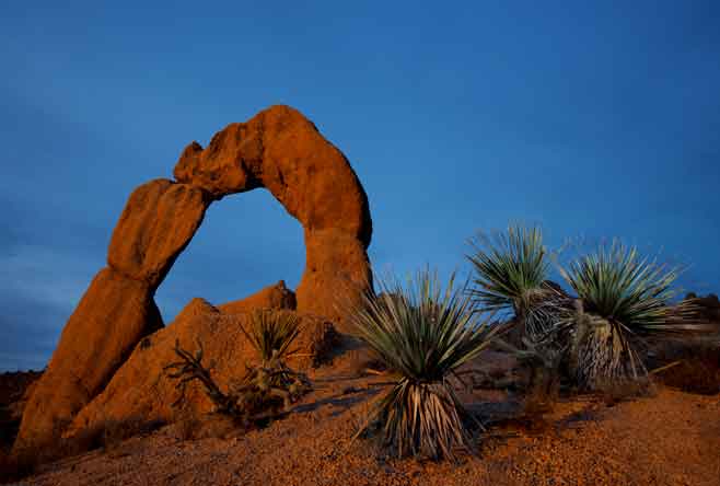
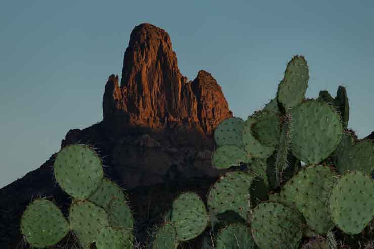
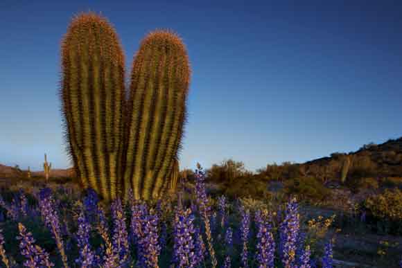
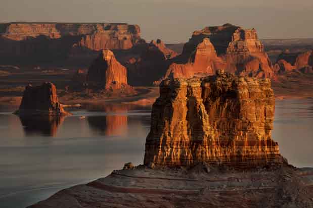
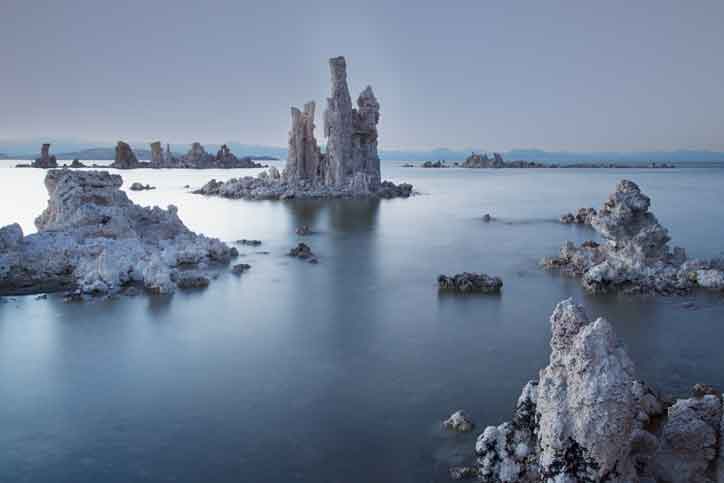
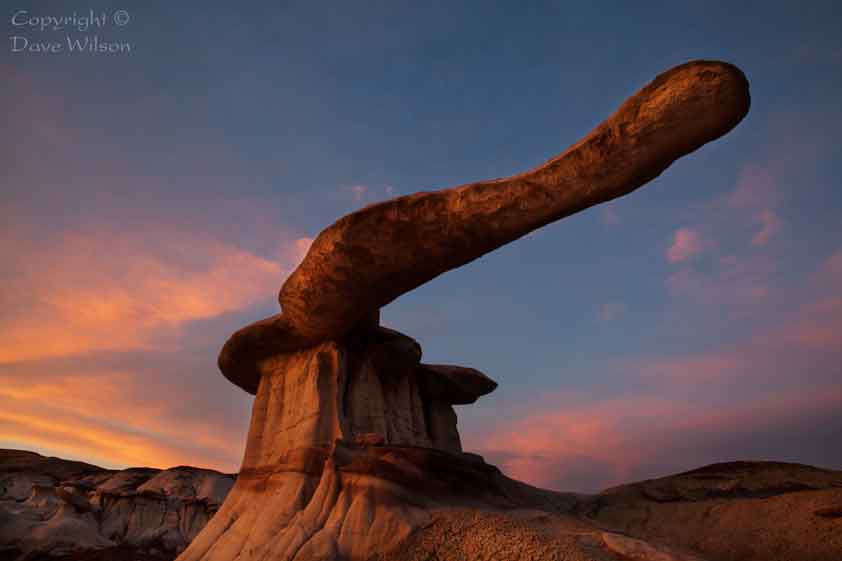
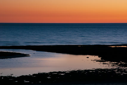
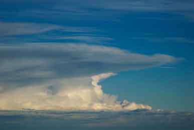
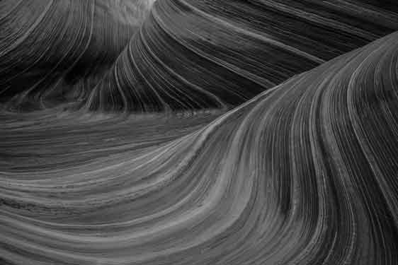
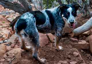

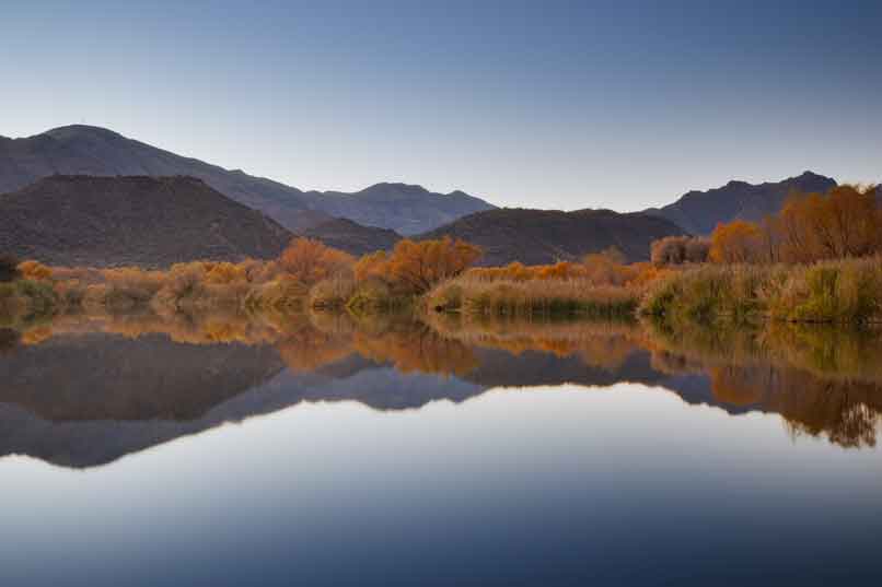
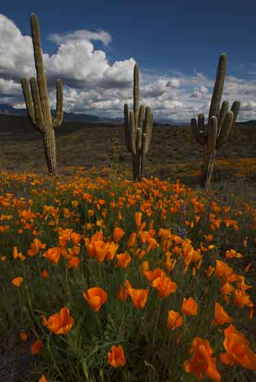
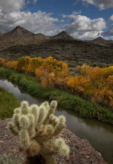
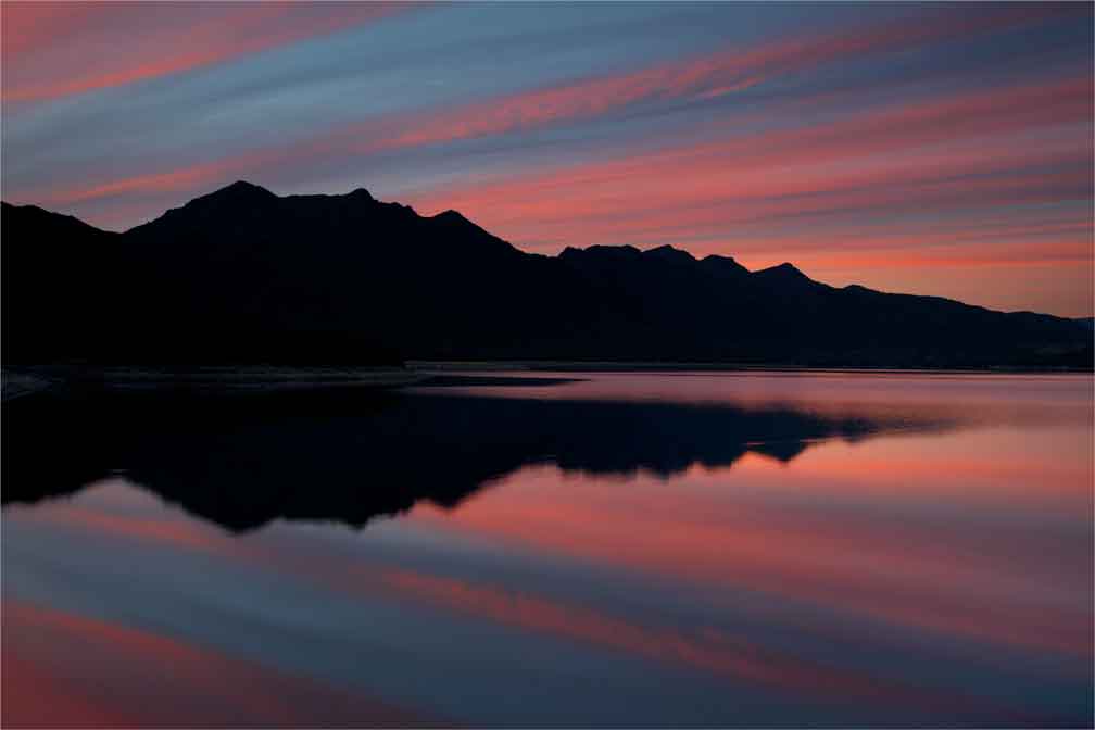
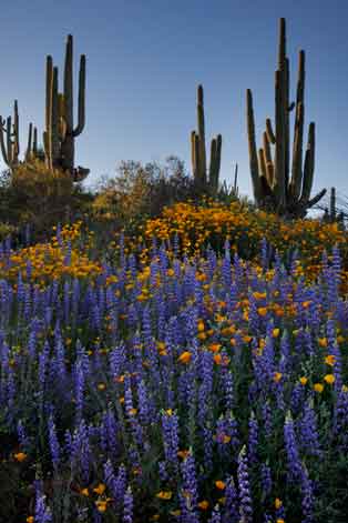
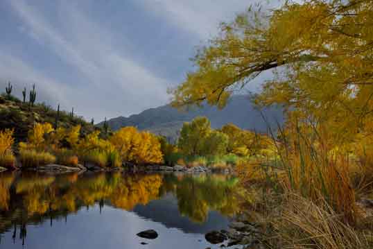
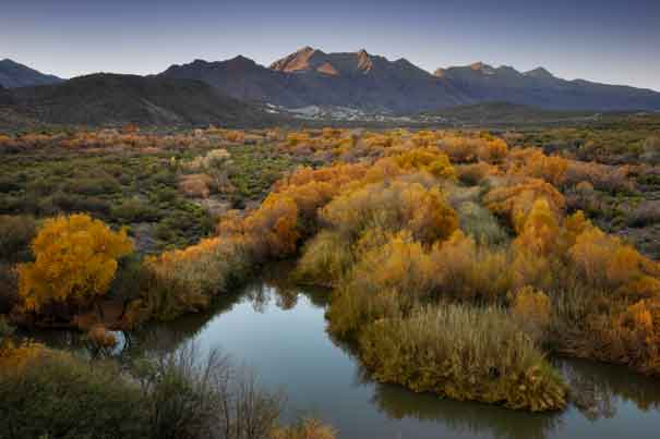
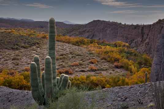
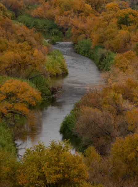
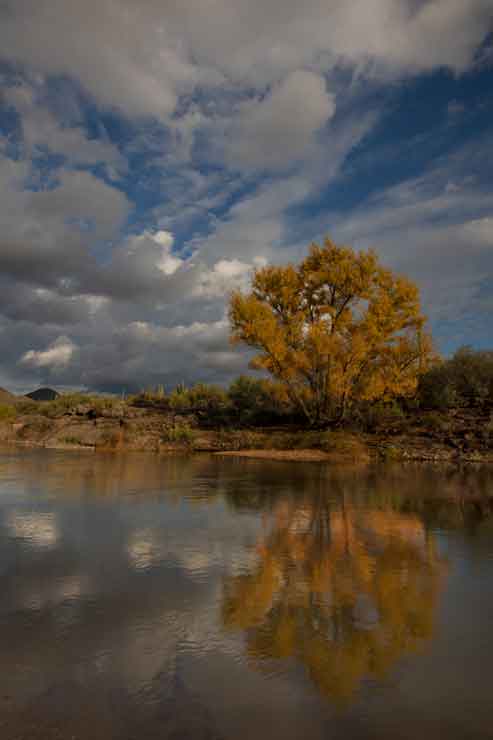
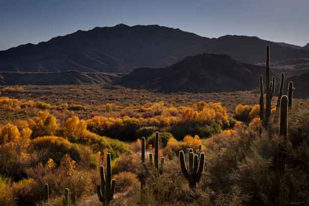
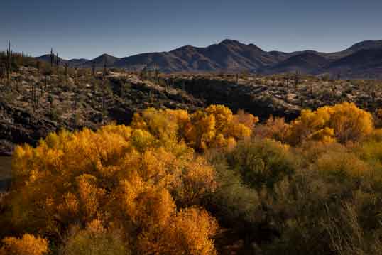
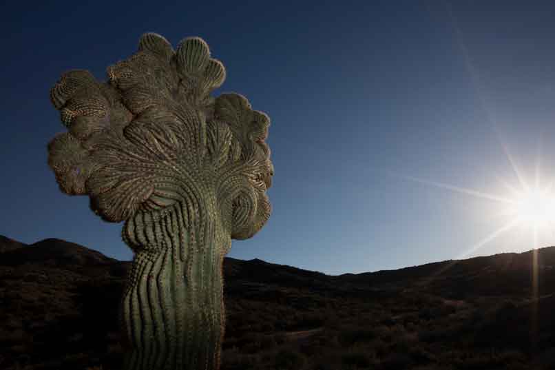
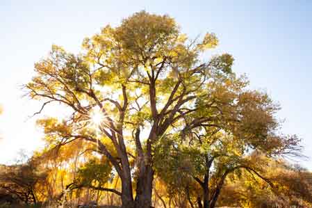
Verde River, Arizona
These photos were taken along Arizona's Verde River, from its
confluence with Sycamore Canyon (red rock country north of Clarkdale)
all the way down to the Needle Rock area in the Sonoran Desert, and
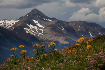
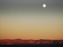
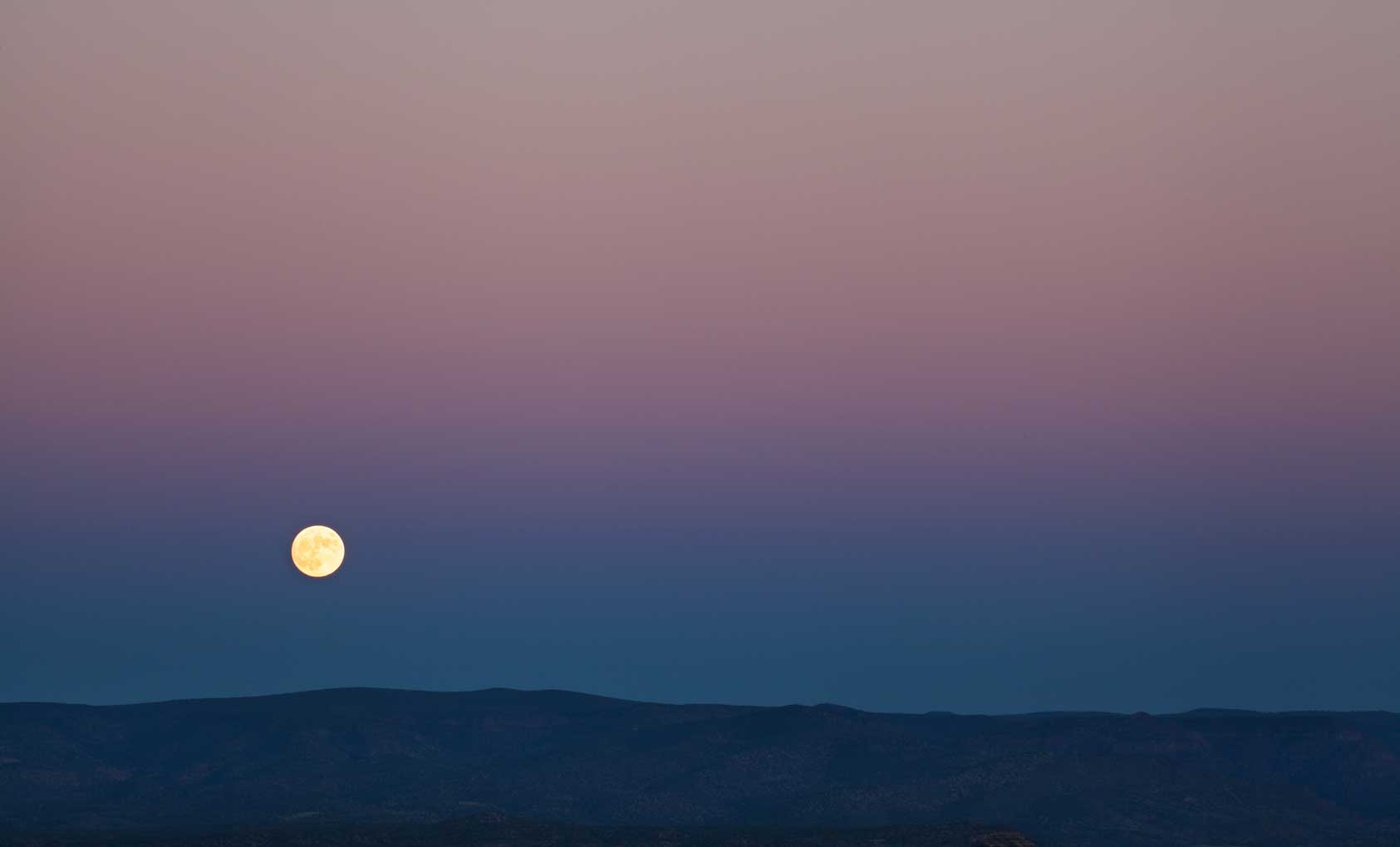
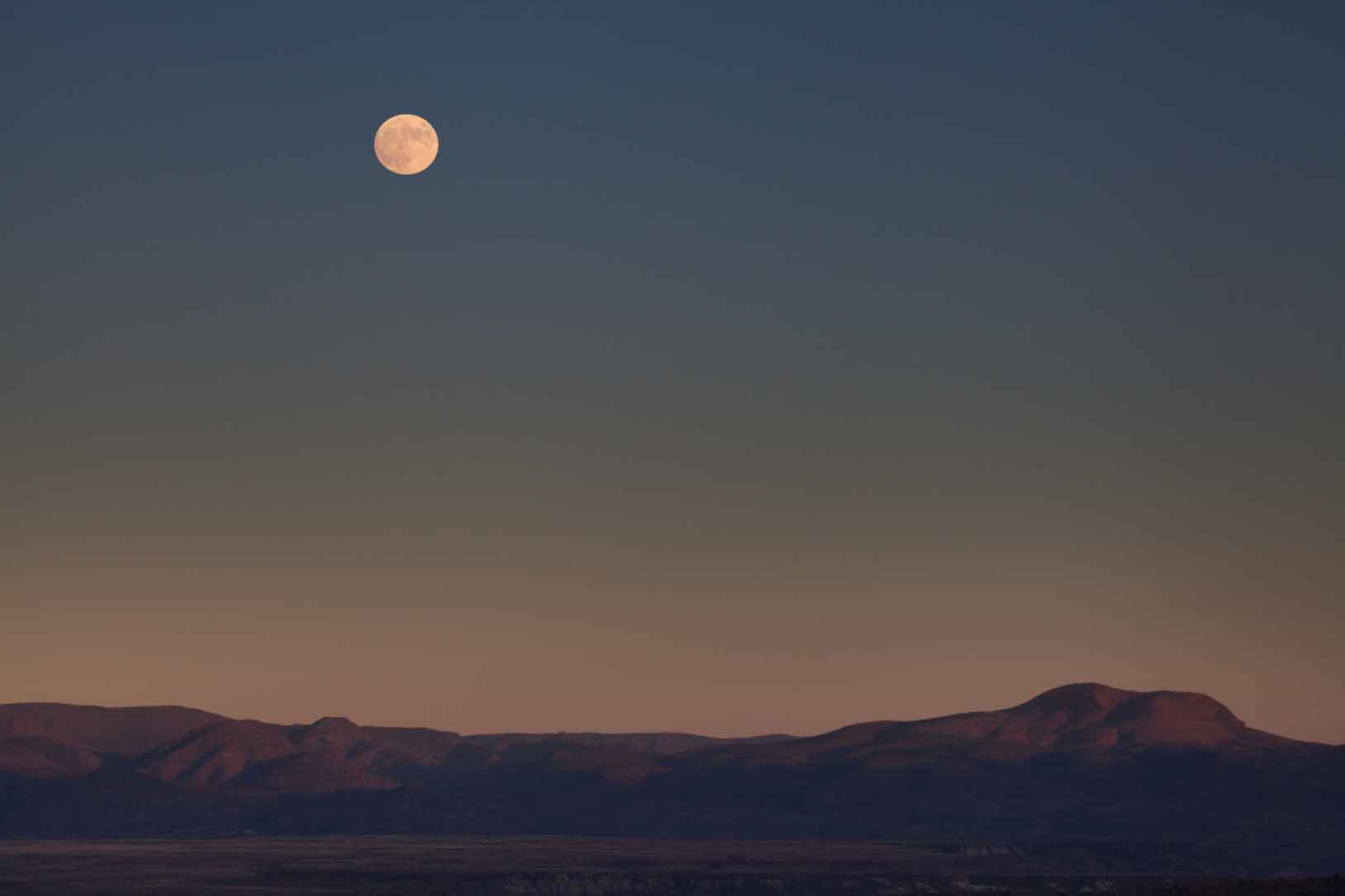
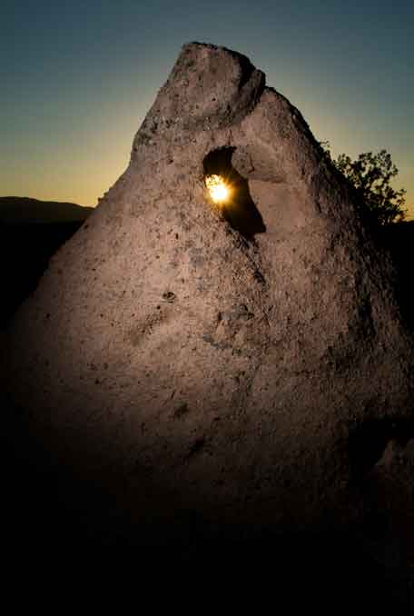
many points in between. The bottom row of photos also includes three
perspectives from higher up in the Verde Valley looking down into it,
as the moon rises over Camp Verde.
 |
 |
 |
 |
 |
 |
 |
 |
 |
 |
 |
 |
 |
 |
 |
 |
 |
 |
 |
 |
 |
 |
 |
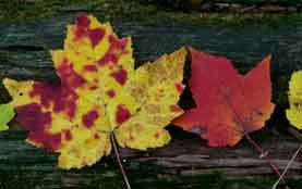
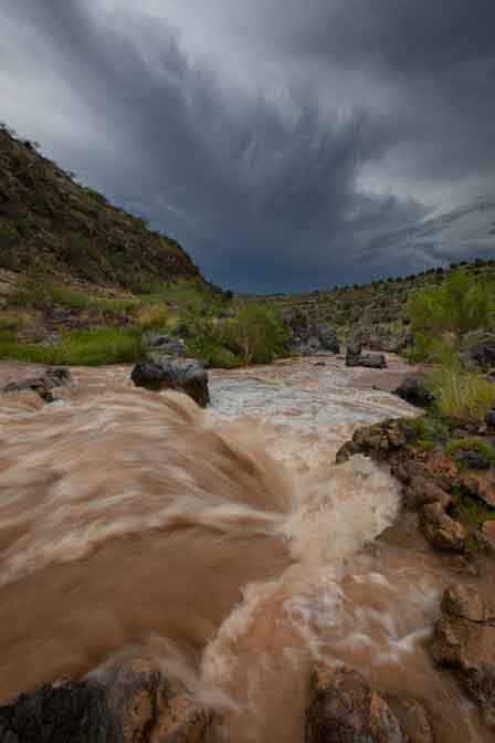
Additionally, there are many creeks that flow into the Verde River, making
them part of the Verde Valley. Please also see the web pages for
West Clear Creek, Sycamore Creek, Wet Beaver Creek and Oak Creek.