






Sycamore Canyon, Central Arizona
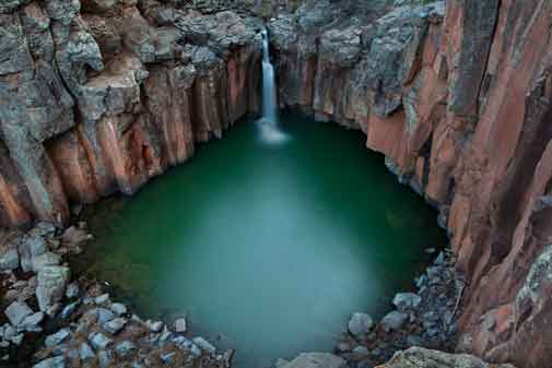
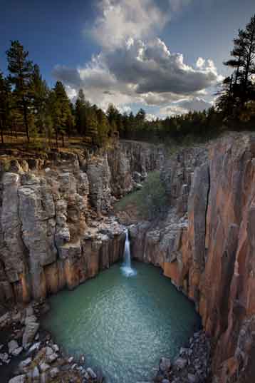
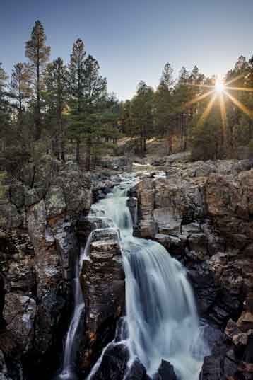
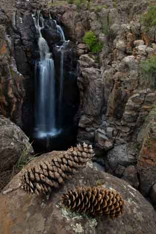
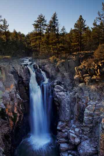
and Upper Sycamore Creek including Sycamore Falls
There are many Sycamore Creeks in Arizona. This one flows between the Kaibab
and Coconino National Forests, starting in the pine-coverd high country southeast of
Williams then flowing south into the Verde Valley and ultimately into the Verde River. The
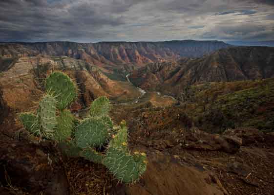
great gorge carved into the landscape by the creek forms Sycamore Canyon, which is
Arizona's second largest canyon. The upper reaches of Sycamore Creek include Sycamore
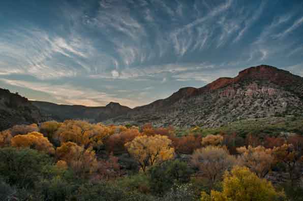
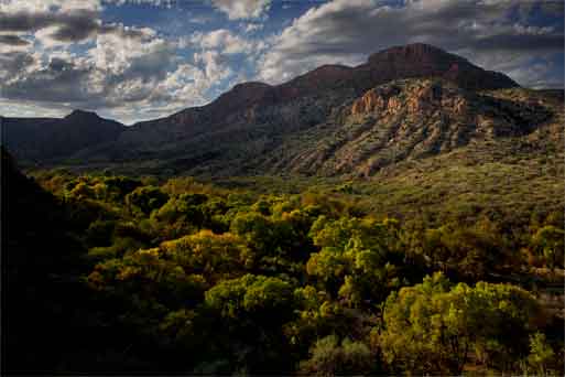
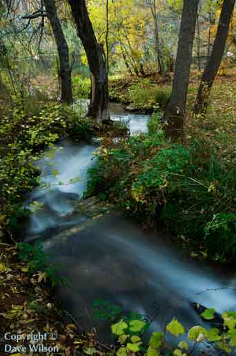
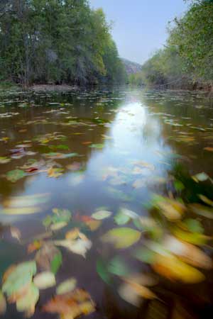
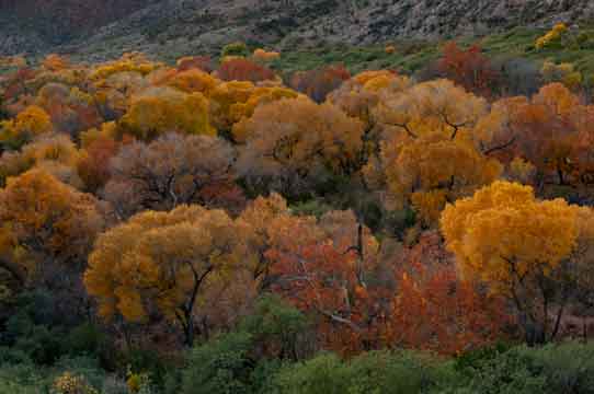
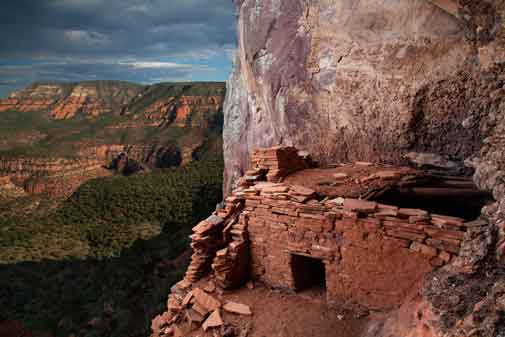
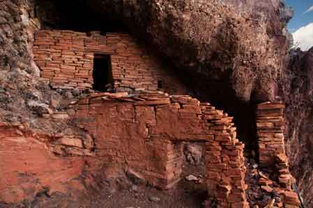
Falls. Many of the photos on
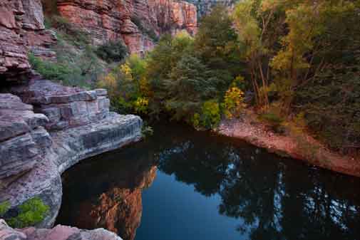
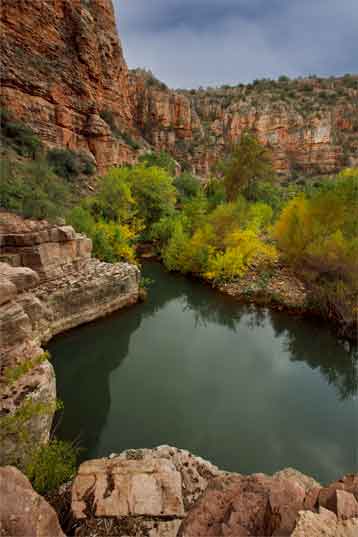
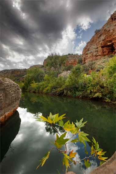
this page were taken along the Parson's Trail, which parallels
Sycamore Creek in the lower reaches of the Sycamore Canyon Wilderness, a
region
featuring beautiful red-rock scenery similar to that in Sedona a bit farther east.
 |
 |
 |
 |
 |
 |
 |
 |
 |
 |
 |
 |
 |
 |
 |
 |
 |
 |
 |
 |