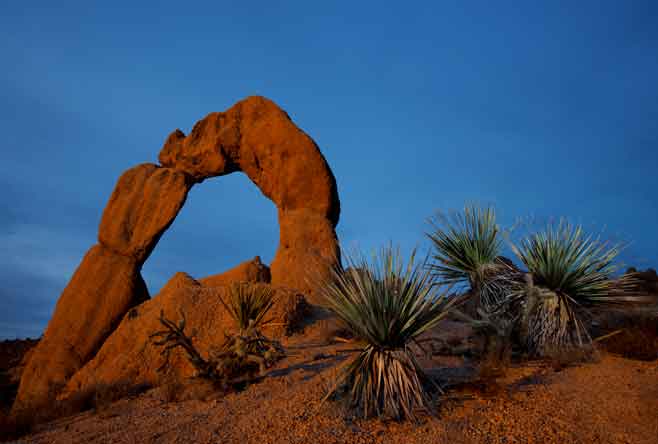
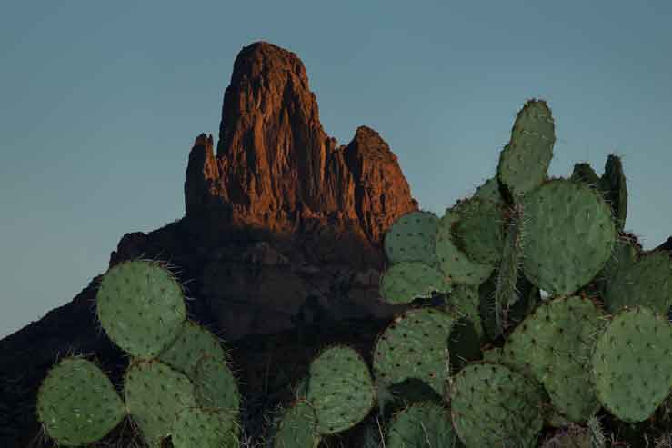
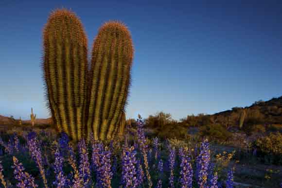
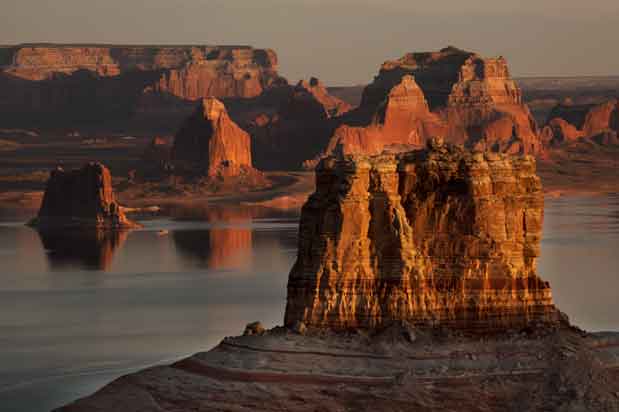
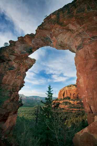
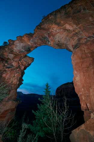
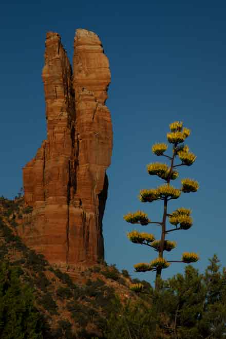
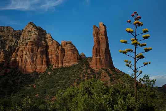
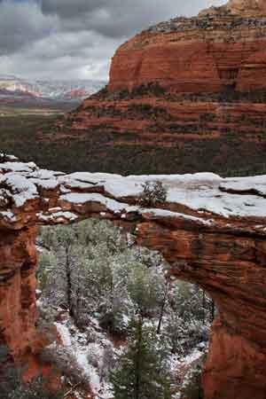
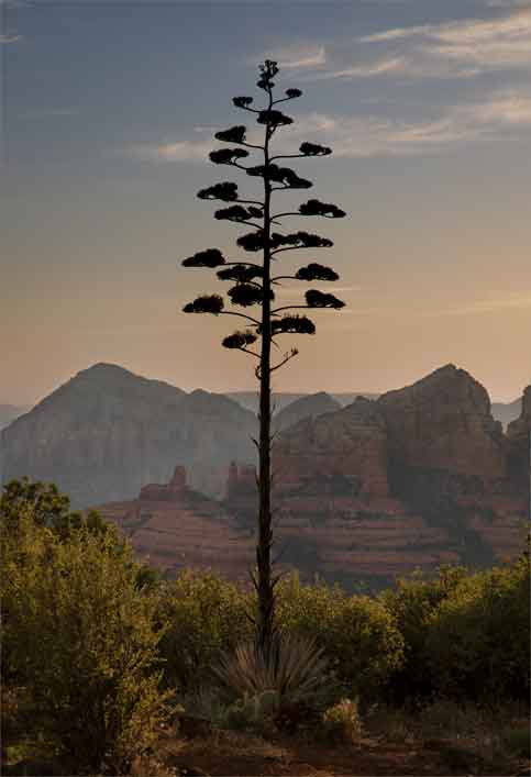
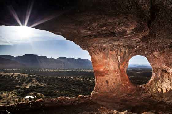
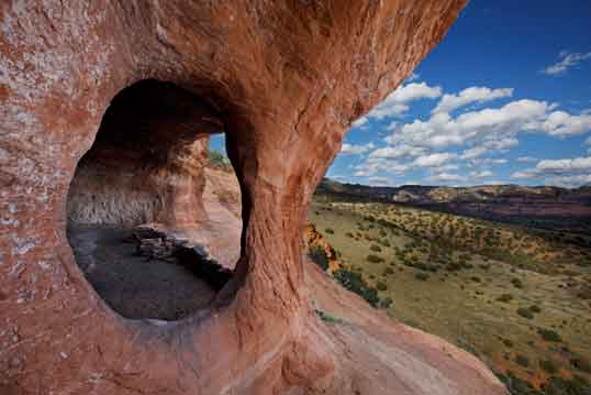
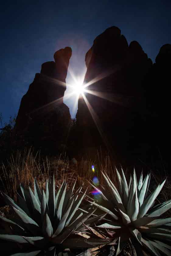
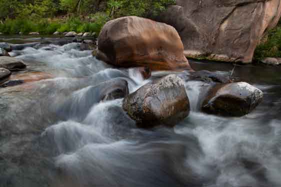
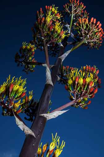
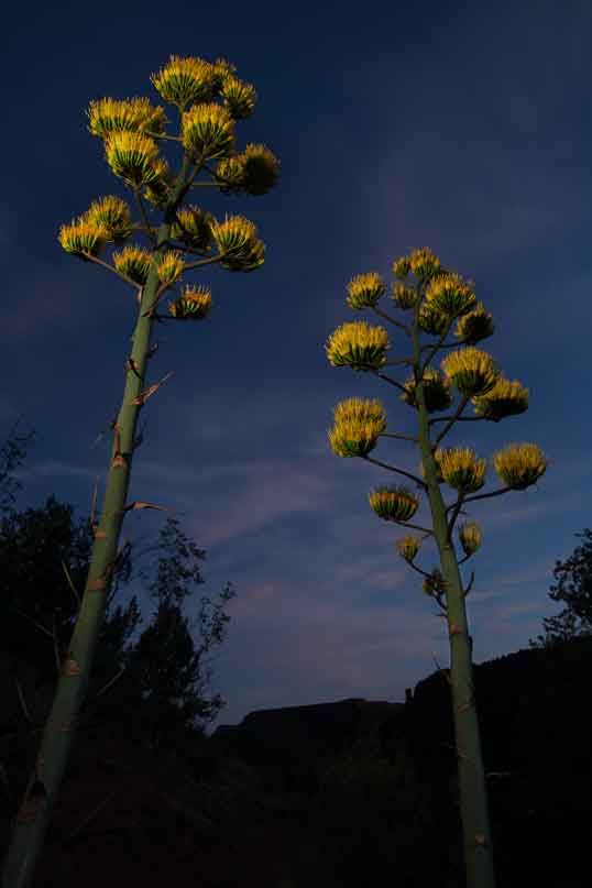
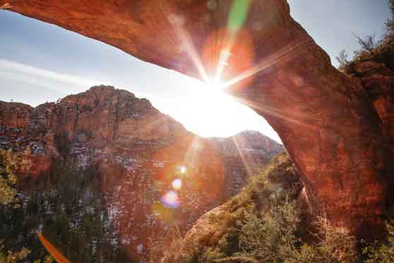
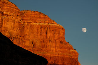
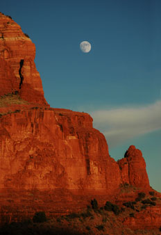
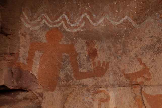
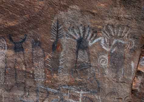
Greater Sedona Region II
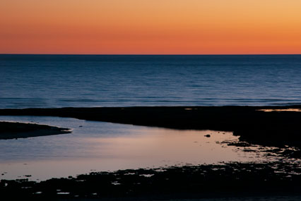
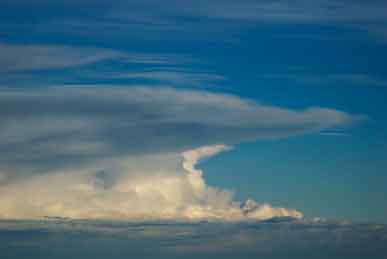
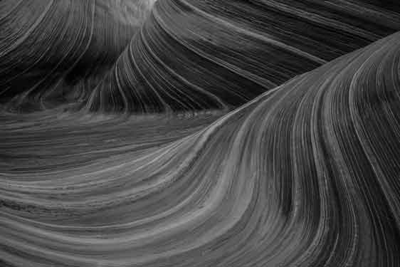
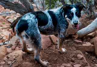
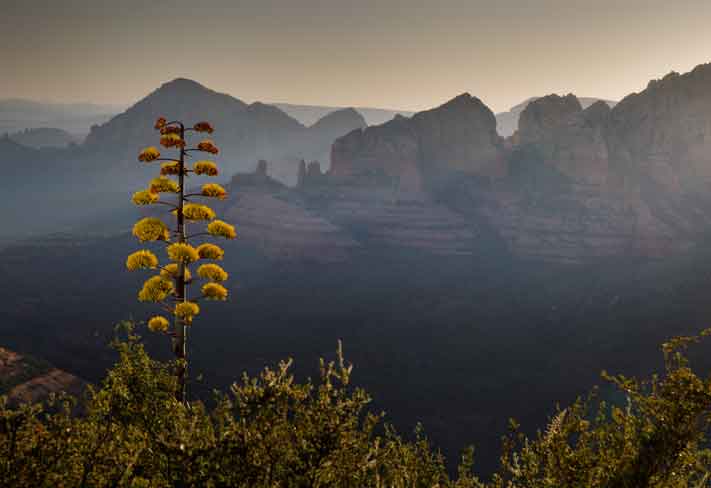
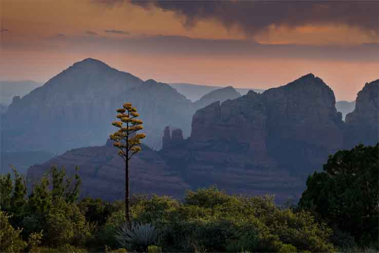
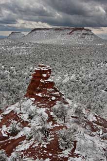
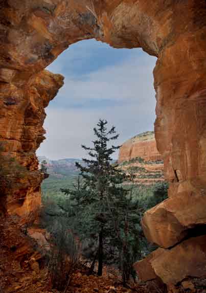
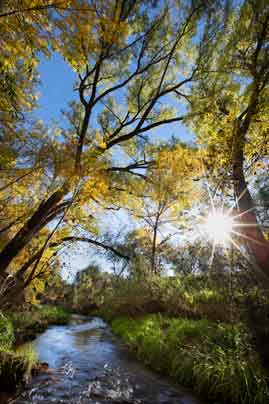
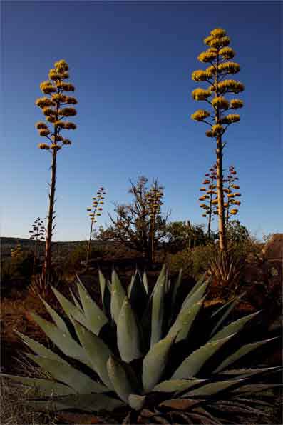
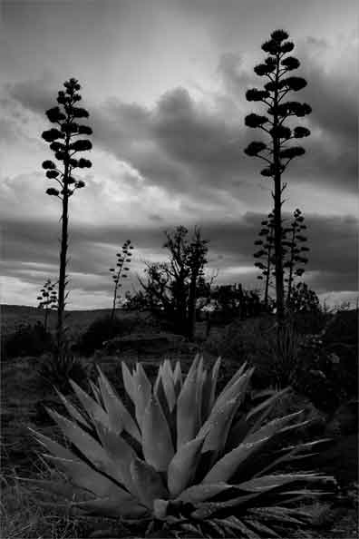
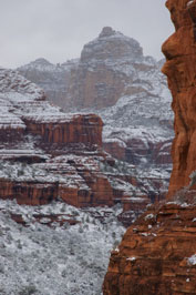
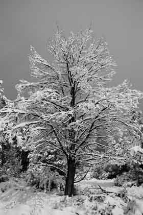
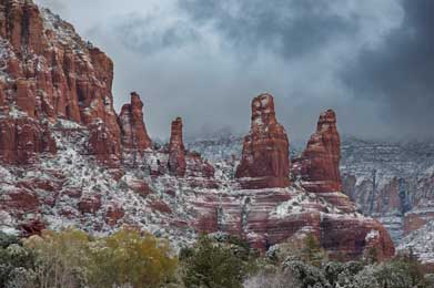
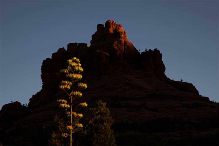
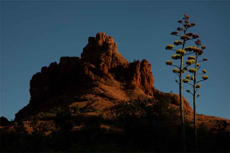
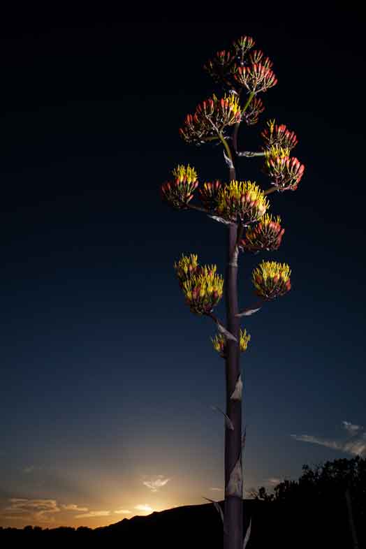
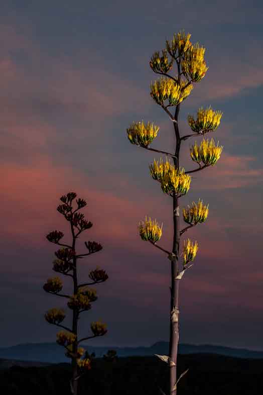
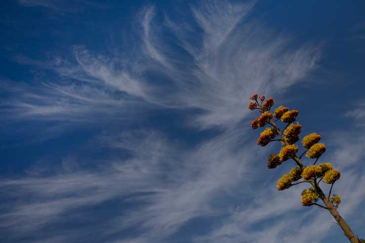
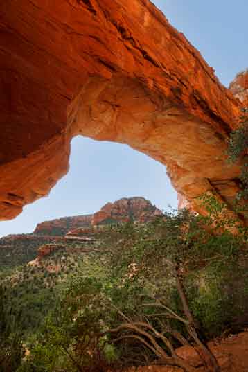
Nature and landscape photography of the greater Sedona region
including the Devil's Bridge,
Deadman's Pass, Jack's Canyon, Bell
Rock, Courthouse Butte, Schnebly Hill, Loy Canyon, The Nuns
(aka "The Sisters"), Robber's Roost, Boynton Canyon, Hart Well
Canyon, and other locales in Arizona's red-rock country. For
more photos of the Sedona region see Greater Sedona I


      From the Schnebly Hill area looking west toward Sedona, Arizona.   From the Schnebly Hill area looking west toward Sedona, Arizona.   Looking south from Boynton Canyon in winter in the red rock country near Sedona, Arizona     Devil's Bridge in the red rock country near Sedona, Arizona      

  Devil's Bridge in the red rock country near Sedona, Arizona     Blooming Century Plant in Jack's Canyon, Arizona. The rock formation immedidately left of the plant is called Rabbit Ears.   Autumn at Spring Creek, a tributary of Oak Creek in the Verde Valley of central Arizona   Blooming century plants in the Schnebly Hill area.   Century plants in the Schnebly Hill of Arizona.  

  Boynton Canyon in winter in the red rock country near Sedona, Arizona   Snow-covered tree on the Coconino National Forest, not far from Sedona, Arizona   The Nuns (aka "The Sisters") rock formations in the red rock country near Sedona, Arizona   A century plant blooms at the base of Bell Rock, Arizona.   The sun sets as century plants bloom at the base of Bell Rock, Arizona.  

      Devil's Bridge in winter in the red rock country near Sedona, Arizona   From the Schnebly Hill area looking west toward Sedona, Arizona.   Robber's Roost in the red rock country near Sedona, Arizona          

    Oak Creek, Arizona   Century Plant near Sedona, Arizona   Century Plant in Boynton Canyon on the Coconino National Forest, Arizona.   Century Plant near Sedona, Arizona   Century Plant near Sedona, Arizona   Century plants and a Juniper Tree in the Schnebly Hill of Arizona.    

      Blooming century plant near Schnebly Hill, Arizona.   Fay Arch in Fay Canyon on the Coconino National Forest.   Vultee Arch in the red rock country near Sedona, Arizona   Moon rising over Courthouse Butte in the red rock country near Sedona, Arizona   Moon rising over Courthouse Butte in the red rock country near Sedona, Arizona      

  Pictographs made by the Southern Sinagua (a.k.a. Verde Hohokam)
between 1150 and 1350 C.E. on the Coconino National Forest.   Pictographs made by the Southern Sinagua (a.k.a. Verde Hohokam)
between 1150 and 1350 C.E. on the Coconino National Forest.  


For more photos of the Sedona region see the Greater Sedona I page